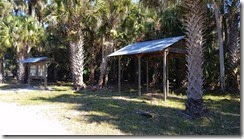
 Our journey through this week took us through the eastern side of this wildlife management area; the grasslands and hammocks on the eastern side are surprisingly different from what I saw on the western side last week. We started our adventure at the Kilbee Trailhead which is on 46, and only about a mile away from the St. Johns River. I looked at the water levels before leaving and they were only a little bit higher than last week. This trailhead has the standard informational kiosk, and it also has what appears to be a game cleaning station that is complete with a spot that is likely used for hanging larger game for cleaning. Hunting is allowed here, but today was not hunting season so we didn’t run across anyone other than a few people down by the river.
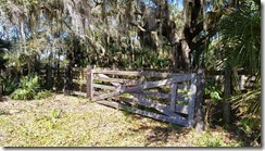
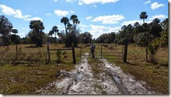
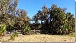 Shortly after starting our hike, we came upon an old cattle pen under a very large oak tree. At first glance it looked pretty old but as we got closer there were signs that it was being maintained. The gate had some newer boards on it, and everything that appeared to have a function seemed to be working well. There was an old branding oven inside the gate that also had signs of being maintained. Based on the plant growth, it doesn’t look like this pen has been used recently but I don’t think that it is very old either. I suspect that it hasn’t been too long since it was used last, maybe a few years, but not too many.
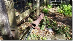
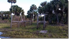 As we walked around to the far side of this pen, there was an area with a lot of hoof prints and a couple of molasses blocks. We also saw what looked like some old boar traps, though I suppose they could be used for other game as well. A close look and we could see the trigger that would cause the door in the front to drop, but these traps don’t look like they would be easy to move. We were left wondering if they were even used anymore. There were also a couple of pieces of old farm equipment back here. One piece was obviously designed to roll the ground flat, but the one that caught my eye was a piece of equipment that looked like an earthen version of a paddle wheel on a boat. I can only guess that it was meant to rough up the ground so the guy towing the roller would have something to do.
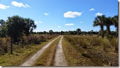
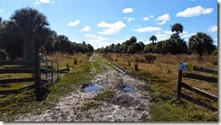 Leaving the corral behind we passed a side trail before arriving at the spot on the road where we were going to start heading south. There were a few spots along the road like this that had some standing water from last week’s rain but it was easy to walk around and stay dry.
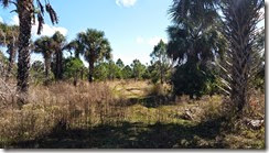
 We really didn’t hit a lot of water to walk through until after passing a creek that ran under the road. It was shortly after this landmark that we left this road behind and took the one less traveled and headed east. On the eastern path, the trail was not much more than a cattle trail, and it soon disappeared into a wetland area. We were able to stay mostly dry by walking on tufts of swamp grass that covered the field. It took some careful planning to get through this spot because the root areas of the grasses (which was dry), but the grass was long enough that it was difficult to see the water that it was growing in. I was having fun trying to navigate through this bog.
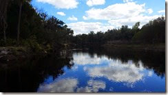
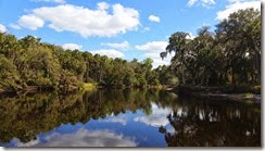 Eventually we made through the swamp to the next hammock and then to the next field where we had a mostly dry walk to get to the river. This is the same spot in the river that I was at last week that had the camping shelter. The view here is really nice, and I wanted to do a little exploring without bothering any campers.
 One item that I didn’t notice last time that I was here was an old wood burning stove right next to the shelter. I can’t imagine that someone brought this back here for an otherwise unequipped shelter, so we looked a little more closely at it. Tina noticed a manufacturers plate on the side that dated the stove to the middle of the last century. This is probably left over from one of the old homesteads back here.
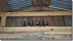
After we finished out lunch here, we poked around the area for a little bit longer to take some more photos. I got a picture of someone’s beer collection in the cabin, and Tina got some other photos that I still need to pull off her camera. We explored the river a little bit more and then continued along our planned path.
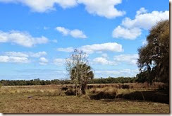 The next leg of our journey took us along the edge of the woods pretty close to a herd of cattle. We hugged the tree line as we walked past them, and they kept an eye on us the whole way. Every now and then we would hear a crash through the woods so we would wait a few minutes and out would come another cow with one or two (or three) calves following along.
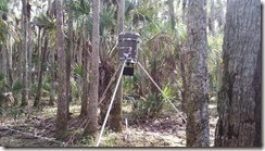 When we were almost all the way past the herd, I noticed something unusual in the trees so we made a little detour to take a look. It was a feeder mounted on a tripod, but completely surrounded with barbed wire. When we looked at it, it seemed the only animals that would be able to get to the corn that it dispensed would be squirrels and birds. Tina looked it up after we got home and found that it’s used to attract deer – it spreads the corn out in about a thirty foot circle, and is surrounded with barbed wire to keep the deer from knocking it over.
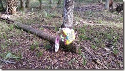
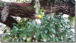 As we followed the tree line around, we were eventually forced back into the grass because of all of the standing water. The grassy area wasn’t much dryer, but with careful stepping on the swamp grass clumps we were able to stay mostly dry until we got back to the woods where we were crossing through the trees again. It was back here that we saw the remnant’s of “the Princess Birthday Party”. Under the canopy of trees is the last place I would have expected to find helium balloons. We also had a pleasant surprise in this part of the woods… a wild orange tree nestled next to the branch of a very large oak tree. The oranges on this tree tasted pretty good; they’re probably getting a lot of good nutrition from the local livestock.
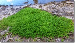 Our travels from here took us back to the river’s edge where we saw what I can only describe as a pillow of green. It was an area about seven feet by four feet and the plants were very soft. I don’t know what they are but the looked nice.
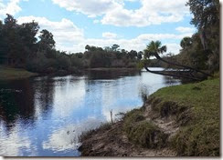
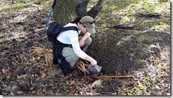 When we got to the horseshoe bend in the river, we searched for a geocache. Tina found it without any problem and no bushwhacking! This was one of those caches where people trade different trinkets, but we didn’t bring anything so we just signed the log.
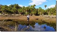 So far our journey was relatively easy. Sure we had a couple of spots where we had to tactically pick our steps, but nothing too difficult and we stayed mostly dry up to this point. The rest of our journey was another story. As we left the geocache behind the next part of the trail was about as swampy and wet as it could get. We made it most of the way without wading or even having to break out the overshoes. When we finally got close to the woods we were going to be passing through it looked like we were going to trade the overshoes back and forth as we waded between dry spots. Tina said “this is just getting too complicated” and headed out into the water.
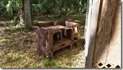
 I think it was this point where I also gave up on trying to stay dry. From this point on, we were just happy when the mud didn’t suck our shoes off our feet. By the time we made it to our next landmark (a very old hog trap) our feet were pretty well coated in mud. Sometimes it’s fun trying to avoid the water, and sometimes it’s more fun just to get dirty!
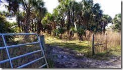
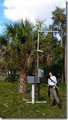
We followed our plan further along until we were hiking along the edge of the St. Johns River floodplain, and it eventually took us back to the dirt road heading north back to our starting point. Along the way we saw a pretty big Cooter Turtle, and also passed by a water monitoring station for the river.
With sunny skies and temperatures in the mid 70’s, it was a great day to be outside. That’s just one of the benefits of winter in Florida. If you would like to see exactly where the pictures for this trip were taken (or even download a .gpx file to try this trip yourself) just like on the “Trip details” link below the map.
Powered by Wikiloc



No comments:
Post a Comment